INNOVIM’s capabilities span the data lifecycle. Our scientists and engineers create and collect data through sensors located on Earth and in space, manage the infrastructure that supports large-scale data analysis, and transform the results into actionable information through data visualization techniques and decision-making systems.
NESDIS Outstanding Support and Policy Award: An INNOVIM employee received the 2026 NESDIS Award for her “extraordinary leadership” of the SWO Communications Team, which was instrumental in the successful launch and public data dissemination of the SWFO-L1, NOAA’s first dedicated space weather satellite.

Innovation in Risk Mitigation: An INNOVIM employee was honored with an award for Innovation in Risk Mitigation for her work with the IT Asset Management System Group, demonstrating exceptional attention to detail in documenting and controlling billions of assets.
Quarterly Excellence in Network Architecture: An INNOVIM employee received a Director’s Quarterly Award for pioneering a Network Architecture solution and an innovative micro-segmentation strategy to meet stringent security requirements for the DSS Program

Cybersecurity “Zero Condition” Success: On the NISSC II program, the INNOVIM RMF Team achieved a significant milestone by securing Authorizations to Operate (ATOs) with zero conditions for two information system packages supporting the warfighting mission.

Technical Problem Solving in Legacy Systems: INNOVIM successfully ported a mission-critical external telemetry viewer from RH7/itos8 to RH8/itos12. This required deep troubleshooting of the inner workings of ITOS and OpenMCT to overcome significant technical obstacles.
Mission-Saving Leadership: INNOVIM was recognized as a “truly indispensable” cornerstone of the MDSEA environment. INNOVIM employee leadership in diagnosing and remediating technical issues was credited with “literally saving the mission” during successful launches and hypersonic tests.
Communication System Integrity: INNOVIM was recognized for assuming COMSEC Responsible duties (CRO) and upgrading crypto systems, thereby ensuring the operational integrity of communication systems for NORTHCOM.
Enterprise Business Intelligence Leadership: INNOVIM staff was recognized for their “crucial” efforts in driving the successful development and demonstration of a new Business Intelligence system for NASA HQ and ESDIS leadership.
Cost-Saving Cloud Strategies: INNOVIM demonstrated measurable cost savings for the agency by enabling the scheduled shutdown and restart of AWS EC2 instances.
Critical Mission Anomaly Resolution: The INNOVIM Support Team was praised by NASA for their “quick response, quality, and efficiency” in handling a spacecraft anomaly on SNPP. The team delivered new calibration data that restored optimal data quality for all spectral bands.
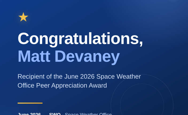
Strategic Space Weather Strategy: The INNOVIM One-NOAA Space Weather Core Team received gratitude from NOAA leadership for driving agency-wide priorities, including the One-NOAA Space Weather High-level Strategy and budget requests.

The INNOVIM team was recognized for their proactive communication of project updates and their effective engagement during technical reviews with the SPO.