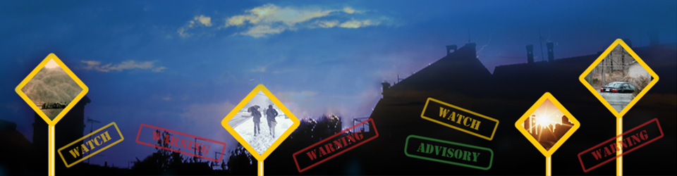
Immediately after Andrew (Drew) Pirring joined INNOVIM in 2015 he found himself directly supporting NOAA’s Hazard Simplification (Haz Simp) project and the government lead, Elliott Jacks (Chief of the Analyze, Forecast and Support Office (AFSO)). The “Haz Simp” project at the National Weather Service (NWS) office in Silver Spring, MD is developing improvements in public communication by clarifying and simplifying text and graphics associated with issuance of NWS Watch, Warning and Advisory (WWA) products.
Since Pirring joined the project, Haz Simp has accomplished several milestones. In October 2015, Haz Simp hosted a three-day Workshop with 105 emergency managers, broadcast meteorologists, and representatives from private industry and the social science community on at the NWS National Training Center in Kansas City, MO. The Workshop was an overwhelming success, generating substantial management and user community feedback and recommendations for major and minor improvements to the current hazard messaging system.
Before the project went out for wider public comment based on the recommendations from the Workshop, Pirring and Jacks briefed the Haz Simp project Workshop outcomes and next steps to Dr. Louis Uccellini (Director, National Weather Service). They went on to brief the White House Office of Science and Technology (OST) with Laura Furgione (Deputy Director, National Weather Service).
Based on positive feedback, the team is now soliciting wider public comment. In September 2016 the new Haz Simp website (http://www.weather.gov/hazardsimplification/) went live, providing information on project history and goals. This site will link to specific Repair and Revamp opportunities as they become available through the remainder of 2016.

The first proposed “Repair” is aimed at assessing how to best depict hazards on a national map. As an option to the current Watch/Warning/Advisory (WWA) map on the weather.gov homepage, the Haz Simp project is proposing two different types of maps for comment, both of which feature only four-colors and one which is based on a rough categorization of potential impact for different WWA products.
You can help! The Haz Simp team is always looking for user feedback. Visit the Haz Simp site, and then take their survey at https://www.surveymonkey.com/r/DPQH67G